Multi-species distribution modeling using deep CNNs and satellite embeddings
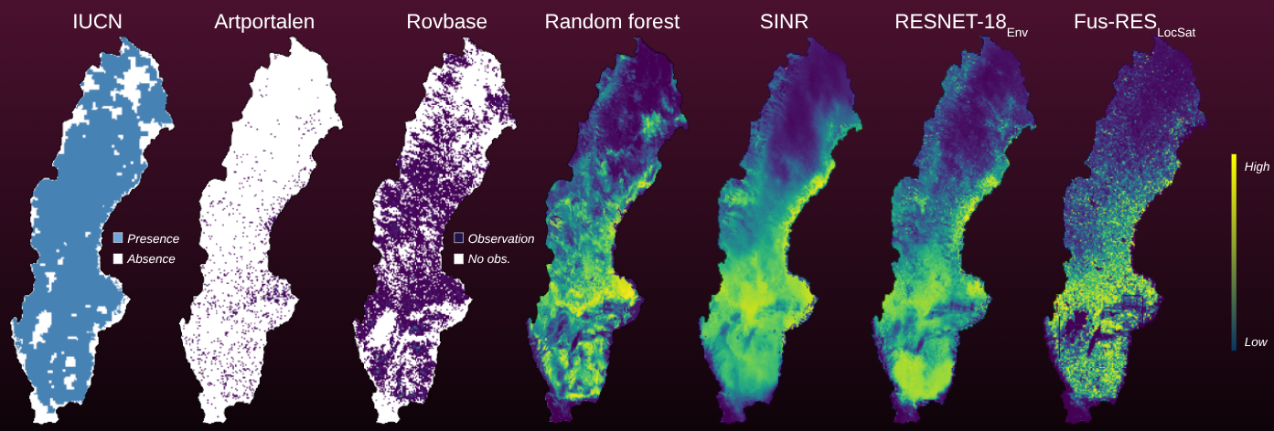
Traditional Species Distribution Models (SDMs) rely on coarse bioclimatic variables, struggling to capture localized ecological niches, habitat fragmentation, and multi-species interactions. This paper presents a high-resolution, multi-species deep learning framework modeling 34 terrestrial mammals across Sweden using opportunistic crowd-sourced data. We benchmark a deep convolutional neural network architecture (ResNet-18) against a spatial MLP (SINR) and Random Forest baselines. Crucially, integrating AlphaEarth Foundations (AEF) 64-dimensional satellite embeddings yields a performance improvement over traditional climate variables, pushing mean Average Precision (mAP) from 0.924 to 0.972. To counteract spatial observation biases inherent in presence-only records, we introduce a custom distance-density pseudo-absence generation mechanism. Models are evaluated across three distinct proxies: a held-out test split, an independent apex carnivore dataset (Rovbase), and expert range maps (IUCN Red List). Our results demonstrate that high-resolution satellite embeddings are essential for capturing fine-grained local landscape variations, accounting for human impacts, and maintaining robust performance under significant spatial distribution shifts.
Markus Blixt, Carl Klang, Olof Mogren
2nd Workshop on AI for Climate and Conservation
PDF Fulltext
DOI:
bibtex.